| Previous: Part 2 : El Teide | Index | Next: Useful Information |
|
The North of Tenerife is substantially less dry than the South, and the Anaga mountains in the North East are remarkably lush and verdant. A backbone of hills reaching about 1000m runs East-West, with spurs and slopes dropping down steeply to the sea on both sides. Various roads and paths follow these hills through light forest with excellent views.
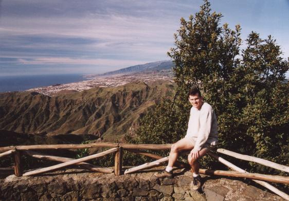 |
Me and a View of Santa Cruz |
|---|
The hills are quite close to Santa Cruz and a good walk could take the bus to somewhere up in the hills and finish at somewhere like Playa de las Tersitas, not far outside the town. We weren't quite as energetic having not fully recovered from our ascent of Teide.
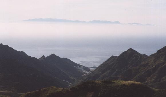 |
Gran Canaria hovers overhead |
|---|
As the following picture shows the main road actually follows the winding crest of the hills! This makes for spectacular views.
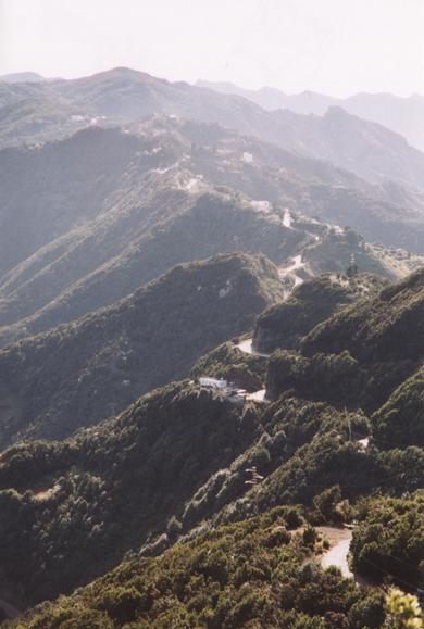 |
The Road |
|---|
The paths pass through light woodland with interesting vegetation including the largest rock roses I've ever seen - they were the size of a plate!
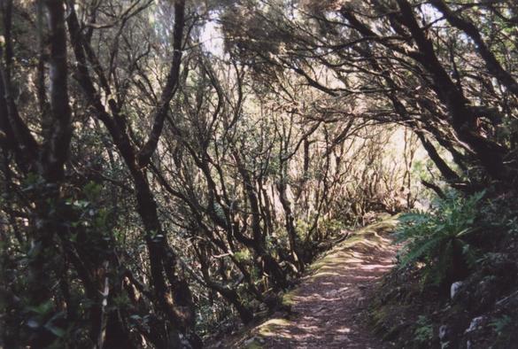 |
A woodland path |
|---|
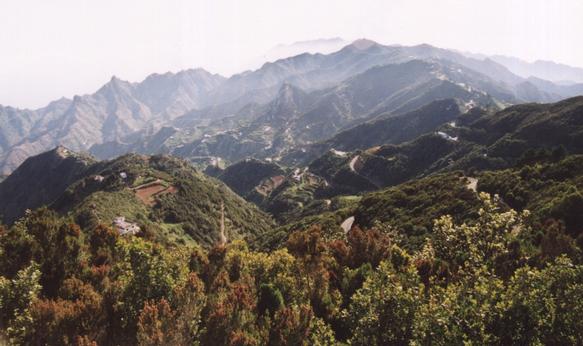 |
Roads and cultivation cling to the hillsides |
|---|
| Previous: Part 2 : El Teide | Index | Next: Useful Information |