| Previous: Part 1 : El Baranco De Masca | Index | Next: Part 3 : Anaga |
 |
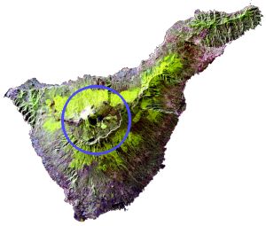
El Teide is the volcano that dominates the center of the island. Its summit is 3715m above sea level, making it a substantial mountain by any standards, but luckily you can start hiking from the caldera at about 2400m.
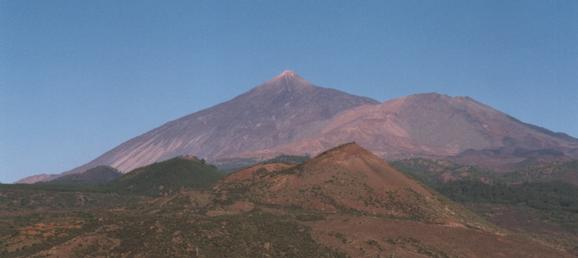 |
El Teide seen from near Santiago del Teide |
|---|
Coming up from Puerto de la Cruz you climb about 2000m, much of it through shady pine forests. Then you cross into the hot, bright caldera with its volcanic "lunar" landscape. Much of the ground is covered in volcanic sand or gravel, with other patches the result of giant volcanic "blisters" that have left behind incredibly rough rocks.
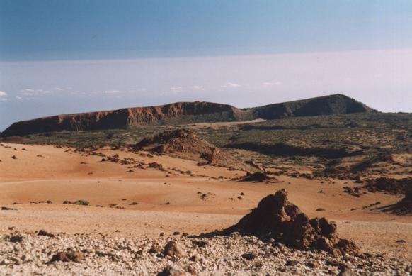 |
Looking across the sandy caldera floor to the perimeter cliffs |
|---|
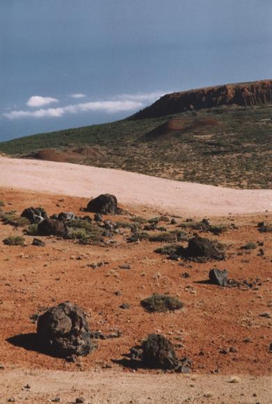 |
Rocks ejected from the volcano (foreground) and some old subsidiary craters (background) |
|---|
There is a good path all the way up the mountain and not an enormous number of people climbing it. However once you get to about 3550m you'll find lots of people - they've come up by cable car! Luckily this isn't visible from the hikers' path, and it does make for an easier way down than retracing your steps.
If you want to go above the cable car station to the actual summit you'll need to get a free permit in advance from an office in Santa Cruz. This is an excellent way of keeping the summit relatively uncrowded, and you don't actually need to go right to the top to see the views.
There is rather a sulpherous smell on the top, so there's no doubt you're on the top of a volcano, and you can even find little steam jets and deposits of sulphur if you look around. But I'm afraid you can't look down into a boiling cauldron of lava!
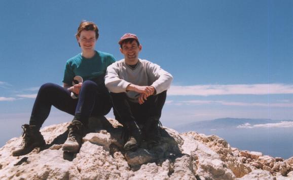 |
Katherine & I on the summit, with La Palma in the background |
|---|
The views from the top are fantastic. From all over Tenerife you get views of the other Canary islands, often looking as if they are floating between sea and sky with hats of cloud. From the top of El Teide you can see most of them.
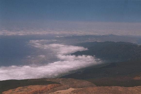 |
View of Puerto de la Cruz and the North East Coast |
|---|
| Previous: Part 1 : El Baranco De Masca | Index | Next: Part 3 : Anaga |