| Previous: Introduction | Index | Next: Part 2 : El Teide |
|
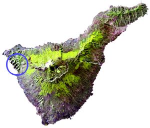
We'd read about this walk in some guide books and made it our first outing. From where we were staying in Puerto de la Cruz it was quite an interesting journey up and down zig-zag roads to the village of Masca in the North West of the island. Masca is about 600m up at the head of a gorge that leads down to the sea.
If you're lazy you can probably arrange to walk down the gorge and be picked up by boat at the bottom. If you're even lazier you can just take a boat trip along the coast and look up at the giant cliffs. But we, naturally, did it the hard way.
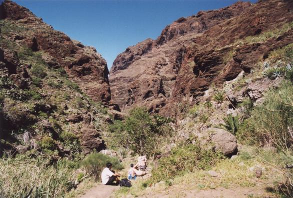 |
Near the top of the gorge |
|---|
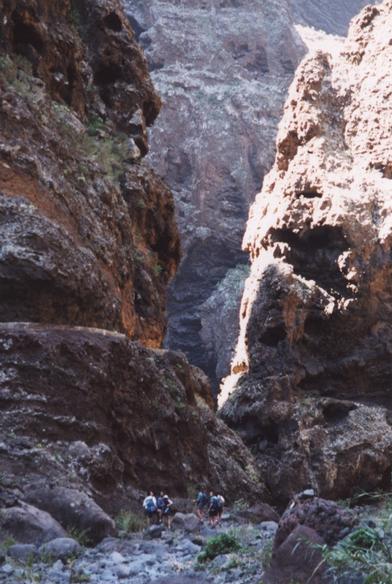 |
Much narrower near the bottom |
|---|
At the top there is quite a bit of vegetation - agaves, cacti and various other things suited to the fairly hot and dry climate. As you descend the gorge gets narrower and narrower and the vegetation gets sparser. From time to time a stream appears and disappears again.
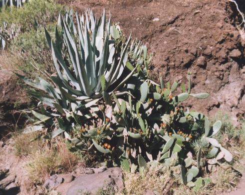 |
A giant Agave and lots of Prickly Pears |
|---|
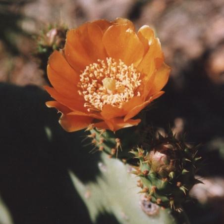 |
A Cactus Flower |
|---|
Looking up at the rock walls you get a cross-section of the volcanic geology, with old lava pierced by later intrusions. Then, after far more meandering than the map suggests, you emerge onto the beach.
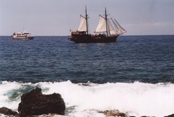 |
Pirates! |
|---|
The beach is rocky with big waves when we were there, but it is possible to swim from the pier - an ideal way to relax after the long walk, and in preparation for the climb back up.
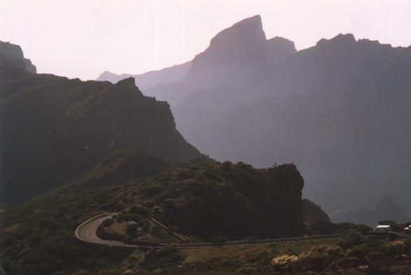 |
Looking down to Masca from the road home |
|---|
| Previous: Introduction | Index | Next: Part 2 : El Teide |