| Previous: Introduction | Index | Next: Part 2 : Across the Col d'Arratille to Spain |
|
Our first day in the mountains! We arrived in Cauterets, a small town and in winter a ski resort, by bus in the middle of the day. Our plan was to walk as far up the Vallée de Lutour as we could that afternoon.
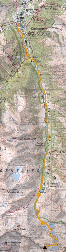
We didn't get off to a very auspicious start; the path we hoped to take had been blocked by a rockfall and we ended up walking up a road instead. But eventually we got up into the hills.
 |
"Rockfalls! Access strictly forbidden." |
|---|
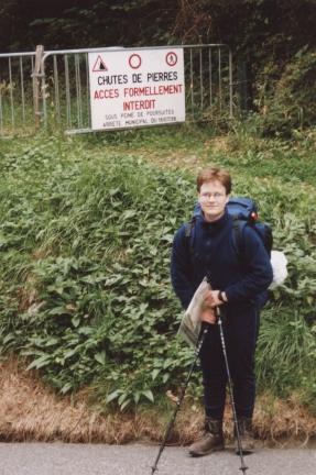
We ascended on a good path, steeply at first past the Cascade de Lutour and then more gently in the hanging valley. We spurned the intrusion of the hôtel on the other bank at La Fruitière and kept going until Lac d'Estom, a picturesque tear-drop-shaped lake with a refuge on its shore.
 |
The Lac and Refuge d'Estom. |
|---|
Total for the day:12km, 900m.
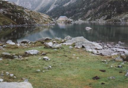
Our first night had been wet and windy, though not bad enough to put us off. In the morning the weather was sunny and we continued to gain more height, the terrain getting more and more rocky the further up we went. After a steep section we reached the first of a group of lakes, Lac de Labas. We decided to leave the camping things here and bag our first Pyrenean peak that afternoon.
 |
Katherine next to the second of the group of lakes, Lac des Oulettes d'Estom Soubiran. |
|---|
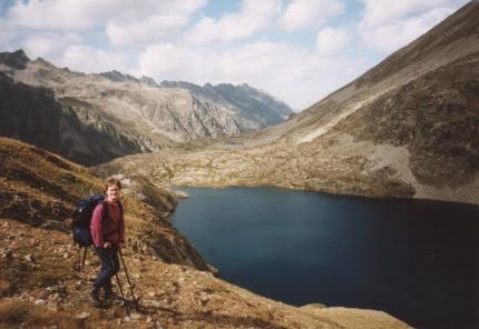
We left the path above the last of the lakes to find our way to the summit of Pic d'Estom Soubiran (2829m). The final bit of the ascent was rocky but not difficult.
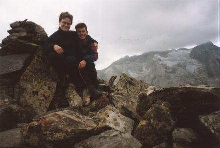 |
Timer photo on the summit of the Pic d'Estom Soubiran. |
|---|
From the top we got some great views: to the north, back down the Vallée de Lutour; to the south east towards the Gavarnie peaks and the Brèche de Roland, and to the west the bulk of the Vignemale with its glacier.
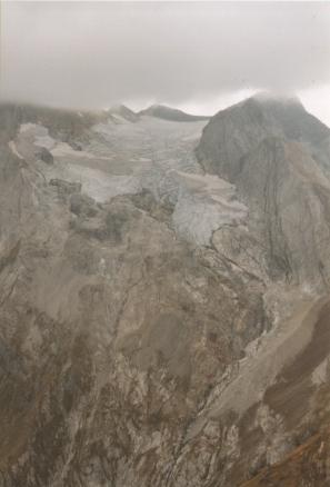 |
The Vignemale, with its head in the clouds, and the Glacier d'Ossoue. |
|---|
After taking in the views we descended as far as Lac de Labas for our standard evening meal of spaghetti and vegetable puree and then retired to the tent for what was to turn out to be a very eventful night...
Total for the day:7km, 1030m.
The weather had been getting cloudier all day so the overnight storm wasn't much of a suprise. Things weren't helped by our choice of camping site - it was rather exposed. Still the tent did hold up, despite loosing most of its pegs at one point, and we didn't get too wet. Anyway it was still raining quite heavily in the morning and we didn't feel up to our original plan of crossing into an adjacent valley, so we decided to return to Cauterets to dry out.
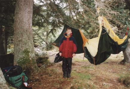 |
One Wet Tent. One Wet Hiker. |
|---|
Total for the day:14km, 0m.
| Previous: Introduction | Index | Next: Part 2 : Across the Col d'Arratille to Spain |