 |
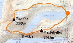
Day 3: Besshø, Bandet and Veslefjellet.
It was still rather cloudy but not actually raining so I decided to risk an ascent of the large lump at the other end of the lake - Besshø, 2258m. The climb was straightforward enough, but visibility dropped to next-to-nothing once I got up to the summit ridge. This seemed fairly airy from what I could see - to the right there was an enormous drop to Russdalen - over 1000m below - and to the left was Besshøbreen (glacier). My path between these two obstacles was in places only a few metres wide! The summit was marked by a well-built cairn but no view.
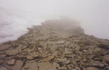 |
The Besshø summit ridge. |
|---|
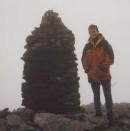 |
No view from the top of Besshø. |
|---|
I left the summit and descended the steep South West shoulder to the cairned path at Bjørnbøltjørna and then down to the famous Bandet, a narrow rock ridge that separates Bessvatnet and Gjende. Bessvatnet is only a few metres below but the drop to Gjende is about 400m! A few sticks of dynamite could give Jotunheim a spectacular new waterfall...
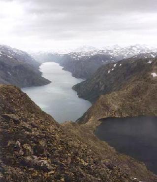 |
Gjende (left) and Bessvatnet (right) separated by the narrow Bandet. |
|---|
I completed the day by returning over Veslefjellet (1743m). By this time the weather had improved and I could see Besshø - rather a lump from this side.
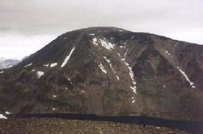 |
Besshø from Veslefjellet. |
|---|
Total for the day:19km, 1300m.